Pacific Northwest “Bearpaw”

A Discover-North America Series Achievement
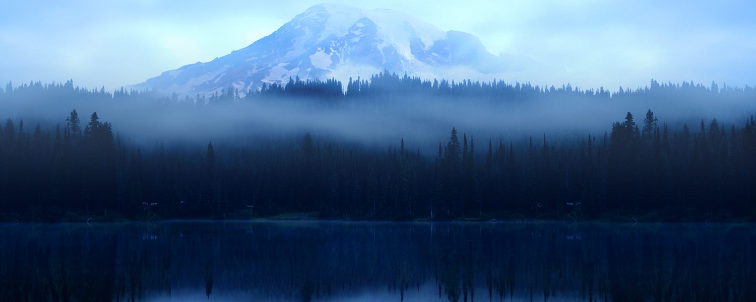
The Pacific Northwest (PNW), sometimes referred to as Cascadia is a geographic region in western North America bounded by the Pacific Ocean to the west and by the Rocky Mountains on the east. The Pacific Northwest is a diverse geographic region, dominated by several mountain ranges, including the Coast Mountains, the Cascade Range, the Olympic Mountains, the Columbia Mountains, and the Rocky Mountains. The highest peak in the Pacific Northwest is Mount Rainier, in the Washington Cascades, at 14,410 feet (4,392 m).
Flight Route
- Sanderson to Forks KSHN.S18 (79 nm)
- Forks to Sequim Valley S18.W28 (109 nm)
- Sequim Valley to Lynden W28.38W (96 nm)
- Lynden to Stehekin State 38W.6S9 (140 nm)
- Stehekin State to Moses Lake 6S9.W20 (159 nm)
- Moses Lake to Skykomish State W20.S88 (106 nm)
- Skykomish State to Easton State S88.KESW (76 nm)
- Easton State to Trout Lake KESW.66WA (116 nm)
- Trout Lake to Seaside 66WA.56S (122 nm)
- Seaside to Sanderson 56S.KSHN (103 nm)
Recommendations
- Simulator: Microsoft Flight Simulator
- Aircraft: Small GA Single or Piper Cub
In order to get credit for our flights, please adhere to the below rules
- Register for the event (teamspeak @ ts3.digitalthemepark.com).
- Fly during sponsored events or with two or more pilots online.
- Up to four flight legs a week across all DTP achievements.
- Real Weather / Real Time / Real Charts / No Slewing / No Time Compression.
- Any aircraft and form of navigation allowed.
- If unable to complete a flight, land and save the flight.
As always, meet up with us on TeamSpeak (ts3.digitalthemepark.com) for more event details.
Categories
Achievement Flights, Discover-North America, Flight Division