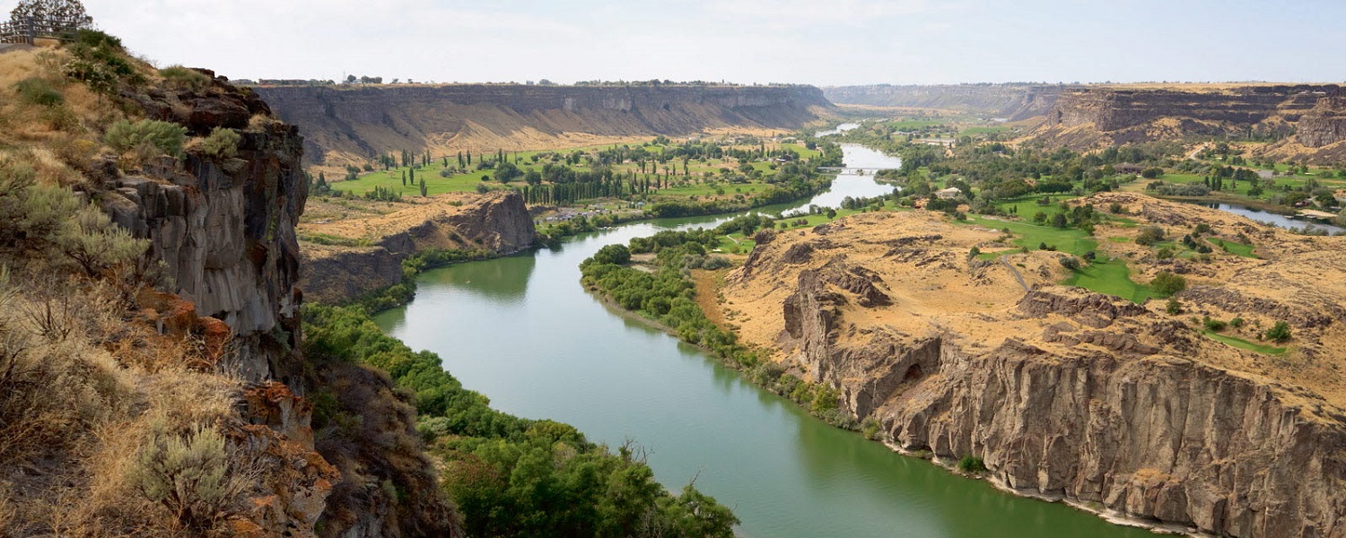
Columbia River “Humpy”

A Discover-North America Series Achievement
The Columbia River is the largest river in the Pacific Northwest region of North America. The river rises in the Rocky Mountains of British Columbia, Canada. It flows northwest and then south into the US state of Washington, then turns west to form most of the border between Washington and the state of Oregon before emptying into the Pacific Ocean. The river is 1,243 miles (2,000 km) long, and its largest tributary is the Snake River. Its drainage basin is roughly the size of France and extends into seven US states and a Canadian province. The fourth-largest river in the United States by volume, the Columbia has the greatest flow of any North American river entering the Pacific.
Flight Route
Although the below flight plan Direct-To, make sure to follow the Columbia river!
- Astoria to Cascade Shores KAST to KCZK (133 nm)
- Cascade Shores to Hermiston KCZK to KHRI (111 nm)
- Hermiston to Quincy KHRI to 80T (126 nm)
- Quincy to Grand Coulee Dam 80T to 3W7 (96 nm)
- Grand Coulee Dam to Trail 3W7 to CAD4 (111 nm)
Recommendations
- Simulator: Microsoft Flight Simulator
- Aircraft: Small GA Single/Twin or Piper Cub
In order to get credit for our flights, please adhere to the below rules
- Register for the event (teamspeak @ ts3.digitalthemepark.com).
- Fly during sponsored events or with two or more pilots online.
- Up to four flight legs a week across all DTP achievements.
- Real Weather / Real Time / Real Charts / No Slewing / No Time Compression.
- Any aircraft and form of navigation allowed.
- If unable to complete a flight, land and save the flight.
As always, meet up with us on TeamSpeak (ts3.digitalthemepark.com) for more event details.
Categories
Achievement Flights, Discover-North America, Flight Division